|
| Vanity Shot at the Summit of Mt. Rogers (5,729 feet) |
It took some effort to do this one, mostly because of how I
went about it. I had the crazy idea of
making this a “day hike”. Climbing Mt.
Rogers is surely that, provided you live anywhere near it. I don’t.
So, for me, it was a 6.5 hour drive each way (over 750 miles of total
driving) from my place in Washington D.C.
Add in another 4 hours for the actual hike, and you have a fairly long
day on your hands. I really had a grand
time on this hike though, so it was definitely worth it. The trip was also a great warm-up for my
cross-country highpointing trip next month!
Yay, more blog posts!
 |
| Park Entrance |
 |
| Trailhead |
My approach was from the Grayson Highlands State Park. The “Contact Station” was closed at the
entrance, so I put my $2 admission fee in an honor-system envelope, and
proceeded up to the Massie Gap parking area.
The path to Mt. Rogers is pretty clear and well marked. Basically, you just follow the Rhododendron
Trail until you reach the Appalachian Trail.
Take the Appalachian Trail southbound until just past the Thomas Knob shelter,
and split off for the Mt. Rogers Summit Trail.
The signs indicate a 4 mile hike each way, but the highpointing
literature suggests an 8.6 mile roundtrip.
Either way, it is a short hike on fairly nice terrain with a touch of
light scrambling. While longer than the
approach to Connecticut’s highpoint, it is certainly easier.
 |
| Just follow the AT |
 |
| Beautiful Trail |
 |
| Another Beautiful View |
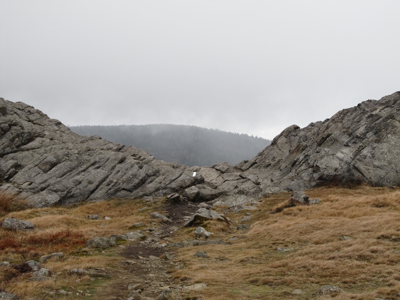
The hike itself crossed some pretty meadows offering plenty
of gorgeous views, even for an otherwise dreary November day. The terrain was mixed which made the hike
consistently interesting; one moment I was climbing over rocks, the next moment
I was in a dark forest or walking in a narrow path between two rock walls. During a warmer month, I would likely have
seen some of the wild ponies for which the park is famous; ditto on the
rhododendrons.
 |
| Striking View along the Appalachian Trail |
At the start of the hike, there is a prominent sign warning
about “extreme weather change”. I would
have to say that is sensible advice even if “extreme” here is not exactly at
Mt. Washington levels. There was easily
a 15 degree drop in temperature by the time I reached the summit. It was quite blustery at the higher
elevation, and I was considering digging out my gloves from my backpack. Also, depending on whether I was on the
windward or leeward side of a slope, the visual appearance of the weather
varied from sunny to ominous. I suppose
this more of a winter phenomenon though.
 |
| Thomas Knob Shelter |
 |
| Spur Trail to the Summit |
The summit is not particularly spectacular. It is overgrown with trees that collectively
block any grandiose view that would otherwise be had. On the
top of a rock, there is a USGS boundary marker officially proclaiming the
highpoint. Around the marker are the
recessed letters “U,S,G,S” in a very large font making it especially
obvious. The marker also has the
triangle on it, so you know you have found the right one (see photo).
 |
| USGS Marker at the Summit |
Nearby, within a 100 feet, one can find 2 more USGS markers!
They are also on rocks. These markers
have arrows on them, in lieu of a triangle, and point in the direction of the
true highpoint. Many people come across
the one and completely miss the other. I
tried searching for a third directional marker, but that was in vain. Theoretically, there should be three
directional markers which point to the boundary marker, hence the triangle
symbol. If anyone finds a third
directional marker (4 total), let me know.
 |
| Directional Marker (typically overlooked) |
 |
| Other Directional Marker (sometimes mistaken for summit) |
I took a couple of photos of the view from the top, but they
hardly comprise my best photos from the hike.
Really, all of the beauty is along the way.
 |
| View from the Summit (note the boundary marker) |
Overall, this was a great highpointing trip! Hiking to the top is so much more rewarding
than a quick drive. I had the place
almost entirely to myself too, as I only chanced upon one other hiker the whole
day. This was a great place for some
solitude and reflection.
 |
| Another View from the Summit |